BAPTISM BY FIRE: The Napoléon Route and the Pyrenées
Your first stop in Saint-Jean-Pied-de-Port is the Pilgrim Information Office ran by Les Amis du chemin de Saint-Jacques, not only to pick up a Credencial if you don’t already have one from your home association (or if, like me, you plan on collecting lots of stamps along the way) but to get a status report about the Napoléon route.
You have two options to cross the Pyrenées: the Napoléon route or the Valcarlos route. The first one is stunning but strenuous, considered by many a highlight of the Camino Francés. It’s a 24.2 KM stretch to Roncesvailles, which ended up being a typical day on the Camino for me, but with 1493 metres in elevation gain and 720 metres in elevation loss. Let those numbers sink in.
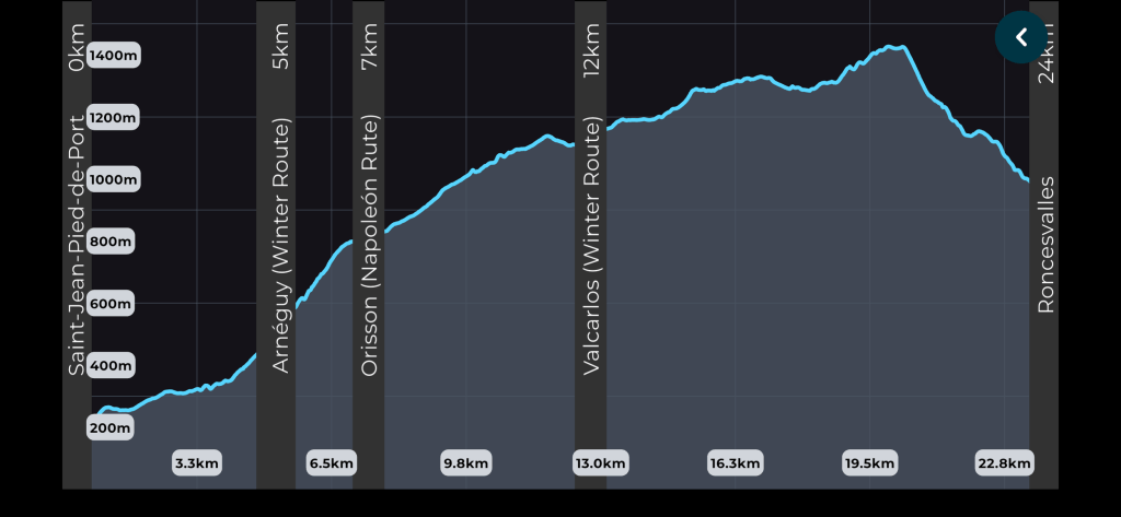
The second option, also called the Winter route because the Napoléon is typically closed between November and March, has less elevation gain and is mostly road walking. But because of its high altitude, the Napoléon route sometimes gets shut down in the regular season because of inclement weather and freak snowfall. So it’s always good to check in with the volunteers at the information office before setting off on the big day.
I knew that first day wouldn’t be easy, so I prepared by going on at least one 15-20KM walk with my (only partly full) pack per week, and semi-daily 7ishKM walks on weekdays over the summer. I didn’t do the BCMC or the Grouse Grind. Would it’ve been smart? Probably. But trails with nicknames like “nature’s step master” are my personal idea of hell.
Anyway, if I wasn’t lugging 13lbs of gear plus 3L of water, I’m sure I would’ve had a lovely time crossing the Pyrenées!
…
That’s not true.
I did have a lovely time.
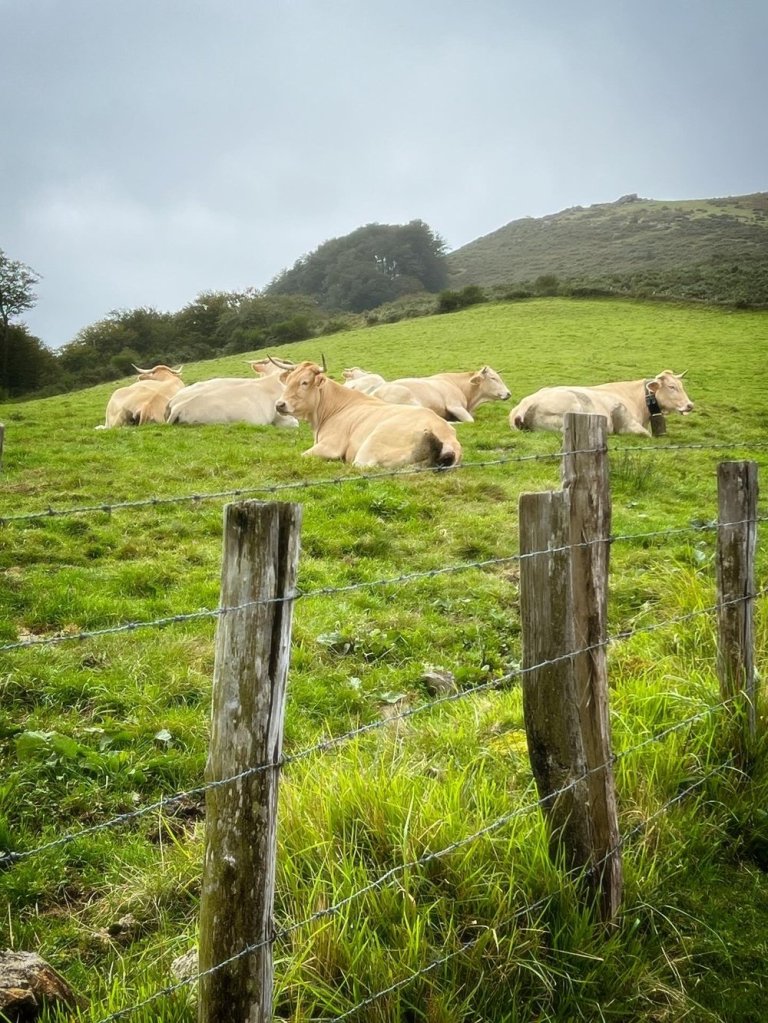
I mean, look at these views:
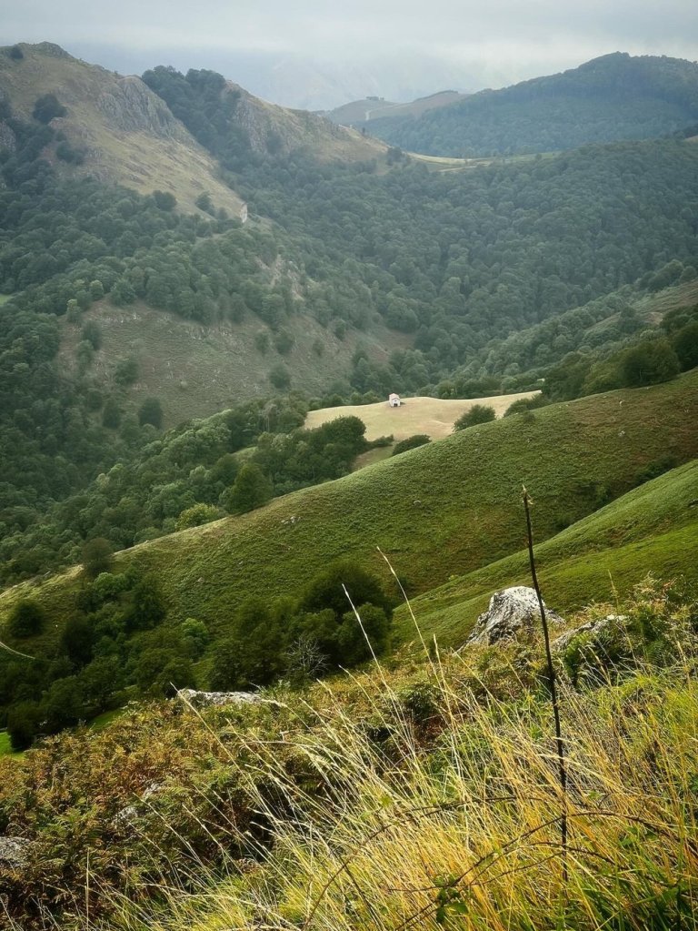
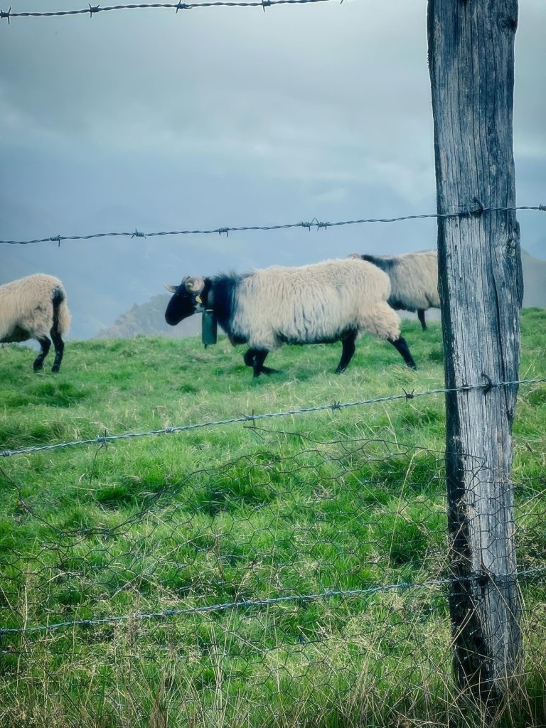
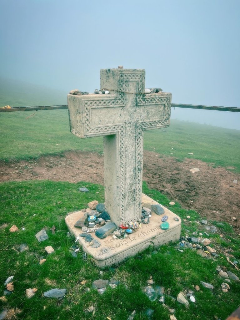
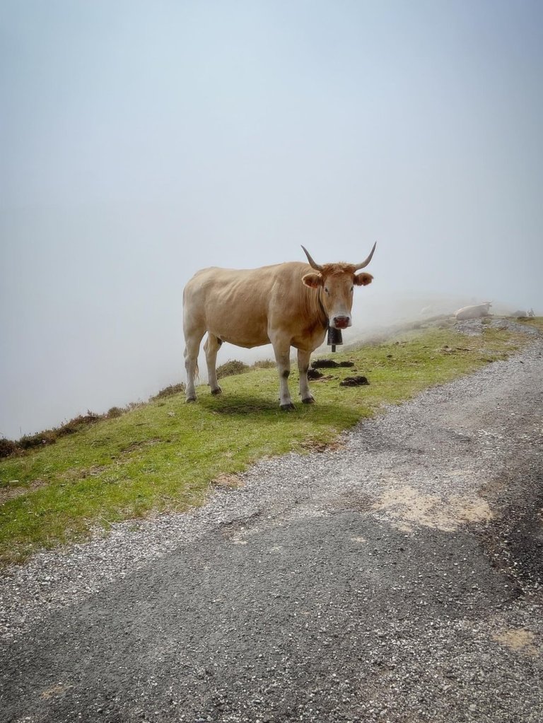
But soon enough, we were in the clouds and the views were no more. Some pilgrims I met later on the Camino felt sorry for me when I told them I didn’t get much of a view on top of the Pyrenées.
I was giddy. I thought it was magical!
The best part of the Napoléon route was sharing it with the cows, horses, sheep, and their bells. The thick clouds only added to the experience.
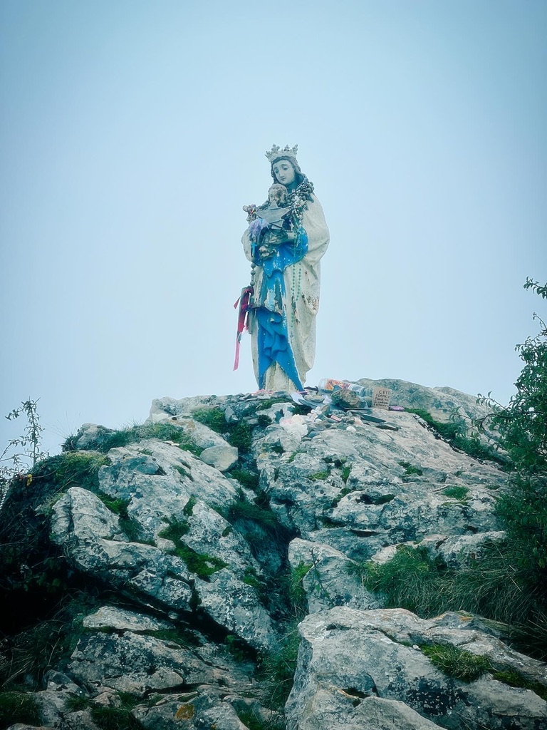
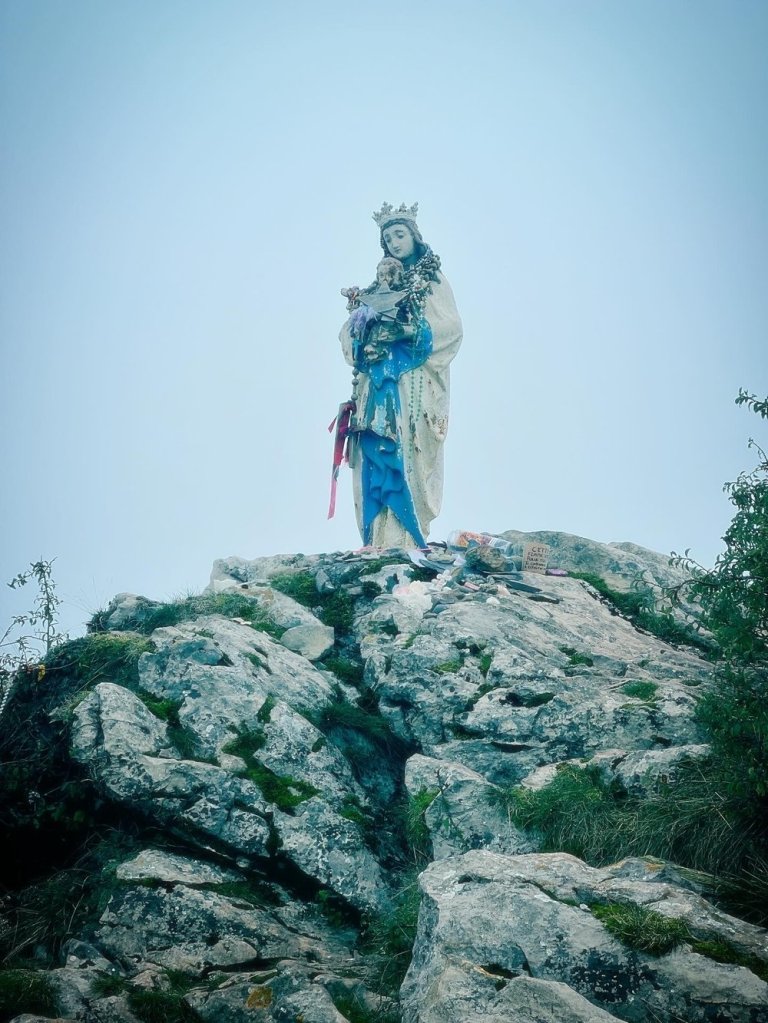
It’s also in the heart of the Pyrenées that you can find la Vièrge de Biakorri, AKA la Vièrge d’Orisson, AKA la Vièrge des Bergers. She’s a little ways off the path, but easily spotted if you keep an eye out for her (using BuenCamino’s map also helps a lot for tracking down landmarks!) Do make the detour to pay her a visit.
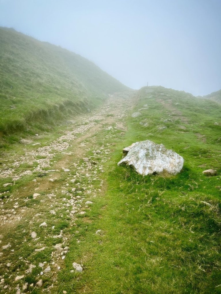
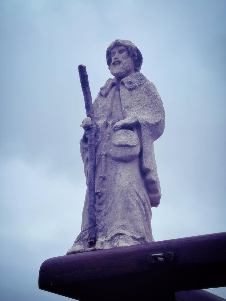
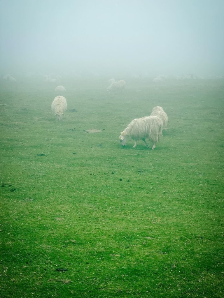
And, before you know it, you’re crossing into Spain.
And the clouds part.
And Roncesvailles is in view.
And the cowbells serenade you as you make your way down, down, down… and before you know it, you’re done with day 1 of your Camino!
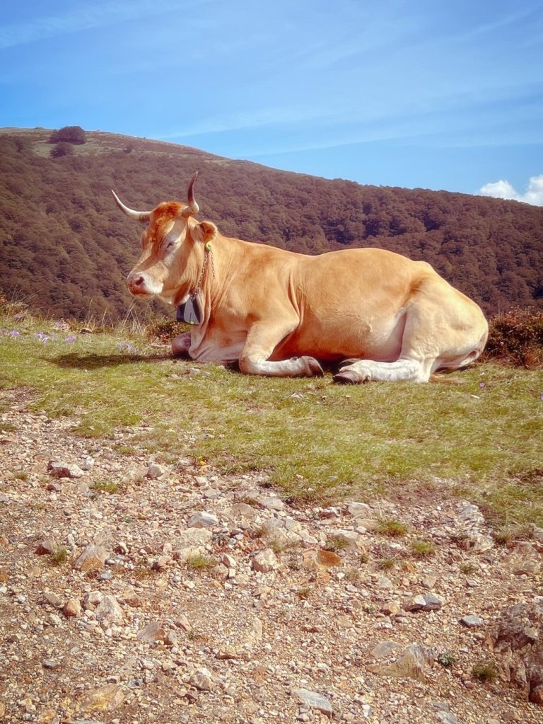
So yeah. The Napoléon route kicked my ass. But I wasn’t alone; many of us at dinner that night openly wondered what the hell we had gotten ourselves into…
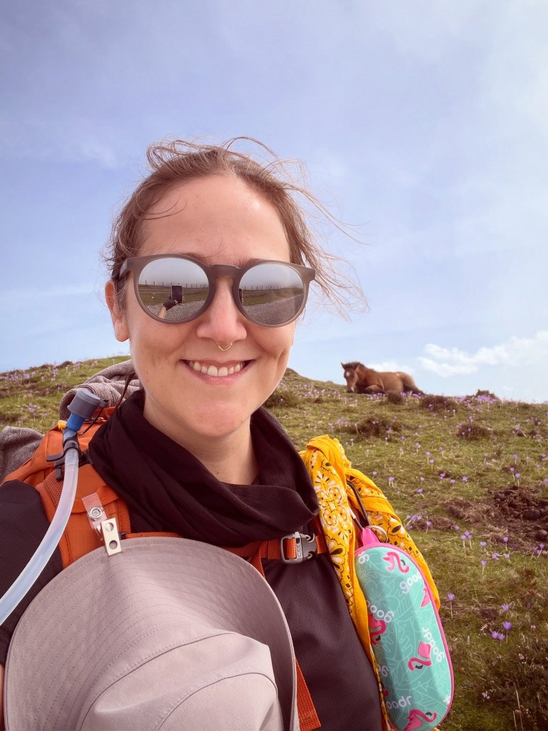
But I bet you really couldn’t tell from the look on my face for most of it. I was in full runaway mode and channeling my inner Pipo.
Before setting off from Roncesvailles the next morning, I quietly left my John Brierley guidebook in the hostel’s donativo bin. I’m a sucker for paper books, and I thought it would be my companion along the way. I still wish I still had it… But having already mined the book’s itinerary and side quests into Google spreadsheets ahead of time and downloaded every Camino app known to man, I happily shed the extra weight.
I hope another pilgrim got good use out of it.
(I’ve since learned that there is an option to split the Napoléon route in two by staying overnight in Orisson. Prospective pilgrims beware!)
(But, also, if I was doing it all over again… I’d still walk straight through to Roncesvailles.)

